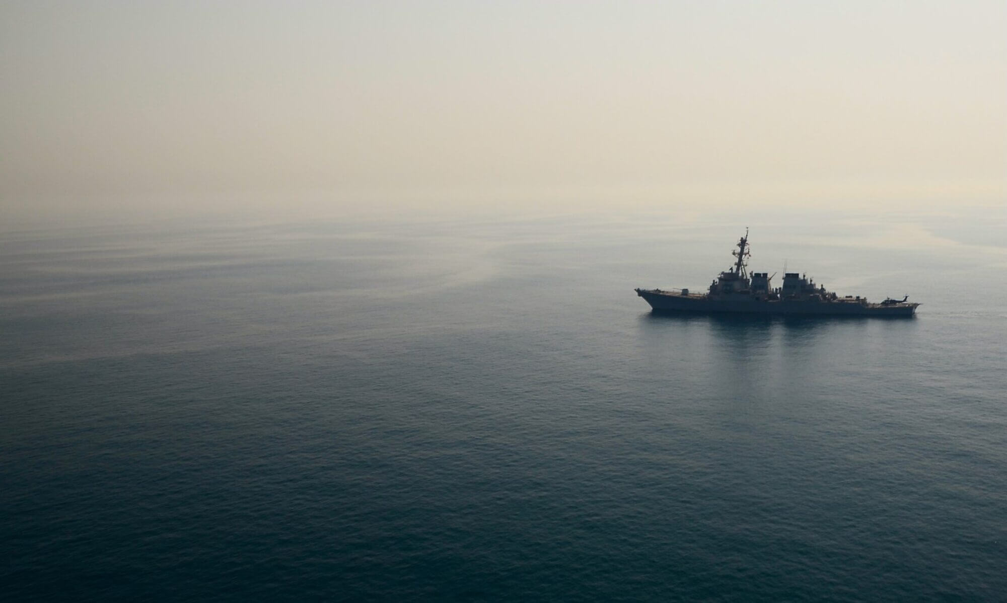

Introduction
This post is part of Charting the Course: Voices That Matter — our ongoing educational series at Americans for a Stronger Navy examining the strategic threats facing the U.S. Navy and why they matter to every American. In this installment, we focus on China’s maritime buildup. China isn’t just making claims — it’s building infrastructure, militarizing reefs, and transforming sea features into forward bases. This map-driven guide walks you through where China has control, what they’ve built, and why it matters for U.S. strategy, regional allies, and global maritime security
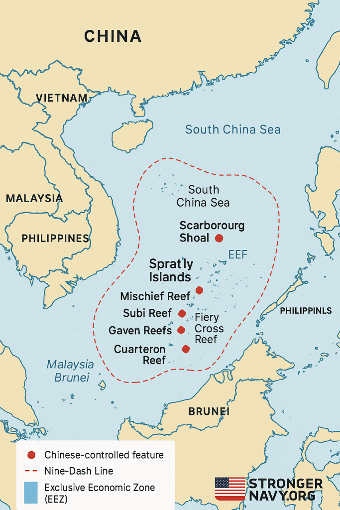
Map & Visuals
- Use one or more of the mapped images above to show:
- China’s “Nine-Dash Line” claim
- Areas with Chinese military build-up (Subi, Mischief, Fiery Cross, etc.)
- Overlapping exclusive economic zones (EEZs) claimed by the Philippines, Vietnam, Malaysia, etc.
Key Chinese-Controlled Features
Here are the major reefs, atolls, and islands China controls or heavily influences. For each, we’d provide location, current state (military infra, runways, radars), and why it’s strategically important.
| Feature | Militarization (Yes / No) | What’s Built / Recent Activity | Strategic Importance |
|---|---|---|---|
| Subi Reef | Yes | Runway, radars, missile systems, hardened shelters | Forward base; near Thitu Island; high capability to surveil / interdict |
| Mischief Reef | Yes | Airstrip, hangars, radar, anti-ship missile systems | Major Chinese hub; within Philippines’ EEZ |
| Fiery Cross Reef | Yes | Similar infrastructure; airstrip, radar, etc. | Power projection over Spratlys; enhances range |
| Gaven Reefs | Yes | Support buildings, radar / comms sites | Part of island chain to extend Chinese reach |
| Cuarteron Reef | Yes | Build-up like hangars, radar | Controls access routes; supports larger operations |
| Scarborough Shoal | De facto control | Coast guard, militia presence; possible construction; blocks Filipino access | Symbolic and strategic choke point; EEZ stakes |
| Paracel Islands | Yes | Many features; garrisons, military infrastructure | Proximity to mainland China; strategic flank toward Vietnam / Philippines |
Why This Map Matters
- Mapping shows how much of the Spratly / Paracel archipelagos are now “ militarized territory”
- It reveals how close China’s bases are to other countries’ claimed waters (especially the Philippines)
- Visual clarity helps Americans see this is not abstract — it’s real geography being altered, with legal, military, and economic implications
U.S. Strategic Implications
- Presence: Where and how the U.S. Navy can operate
- Deterrence: What it takes to make these bases costly for Beijing to use aggressively
- Alliances: How neighboring countries feel and what they do (e.g. Philippines’ diplomatic protests, joint patrols)
Call to Action
Let the map sharpen our resolve. Knowing the terrain is step one. Step two is educating, advocating, and ensuring our Navy, our Congress, and our allies are equipped for what’s next.
Closing Thought
Geography doesn’t shift overnight — but power can. When maps are redrawn, either by diplomacy or force, everyone involved must choose whether to respond or concede. That’s why we launched Charting the Course: Voices That Matter — a 24-part educational series breaking down how we got here, what went wrong, and what must happen next. Our goal is simple: educate the public, connect the dots, and build the support needed to close the readiness gap before it’s too late.
Let’s roll.